With climate change, governments and corporations are experiencing new scenarios where current infrastructure needs or will need to be transformed in the medium or long term to meet both current demands and new risks and opportunities.
To identify and quantify physical risks, WayCarbon developed a cloud platform, MOVE®, with critical differentials for reliable analysis and customizable to different sectors.
Simulate and quantify the impact of climate change in different areas.
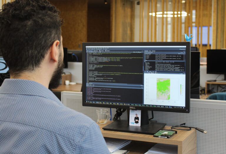
Geo-referenced analysis platform for climate risk analysis.
Identify relevant climate impacts and their causes.
Simulate and quantify the impact of climate change in different time frames and scenarios of greenhouse gas concentration and socioeconomic paths.
Assess sectoral impacts that may affect your operation directly and/or indirectly. Our algorithms can be applied to various sectors exposed to climate change, such as energy, water availability, logistics and agricultural production.
Identify the assets that are most at risk from an integrated and comparative view, supporting strategic decision-making from a cluster view.
TALK TO OUR EXPERTS:
With climate change, governments and corporations are experiencing new scenarios where current infrastructure needs or will need to be transformed in the medium or long term to meet both current demands and new risks and opportunities.
Each country, region, state, city or asset may suffer or benefit from a certain climate impact. Based on the identification of threats, exposure and vulnerability of georeferenced spaces, WayCarbon helps managing climate risk by presenting scenarios with probable physical risks and opportunities in that territory such as: water scarcity, disease vectors, floods, landslides, heat waves, storms and forest fires.
Our role is to generate resilience for businesses and territories from these scenarios by drawing up action plans and adapting to the material risks identified.
The tool used for this vulnerability analysis is called MOVE and was developed by WayCarbon.
MOVE® HAS A LARGE DATABASE OF CLIMATE AND GEOPHYSICAL INFORMATION MATCHED TO MODELS OF IMPACT AND PHYSICAL RISK, SUCH AS FLOODS AND LANDSLIDES.
© 2021 . MOVE - MODEL FOR VULNERABILITY EVALUATION . Todos os direitos reservados.